 |
Dedication: Saint Helen Location: Sherburn Coordinates: 54.170448N, -0.526141W Grid reference: SE963759 Heritage designation: none |
HOME - ENGLAND - EAST RIDING
|
Dedication: Saint Helen Location: Sherburn Coordinates: 54.170448N, -0.526141W Grid reference: SE963759 Heritage designation: none |
Very little is known about Sherburn's holy well, which is now no more than a spring, and possibly always has been. Sherburn's church is dedicated to St Hilda, so the dedication cannot be derived from there; instead, it is likely that the well became dedicated to St Helen because of her popularity in Yorkshire during the medieval period.
The well has always been marked and named on Ordnance Survey maps as "St Helen's Spring", as it still is today. The only reference to the well that I could find is a note about the "Sherburn Water Supply Scheme", in volume 66 of The Surveyor and Municipal and County Engineer, from 1924:
|
A scheme for a water supply, which was estimated would cost £4,230, has been submitted to the Sherburn Rural District Council, Yorks, by the surveyor, Mr. W.D. Graham. The proposal is to supply the village and the Wold farms by rams at St. Helens Spring, near Sherburn High Mill, for which two reservoirs will be necessary. A copy of the scheme is to be sent to the Ministry of Health. |
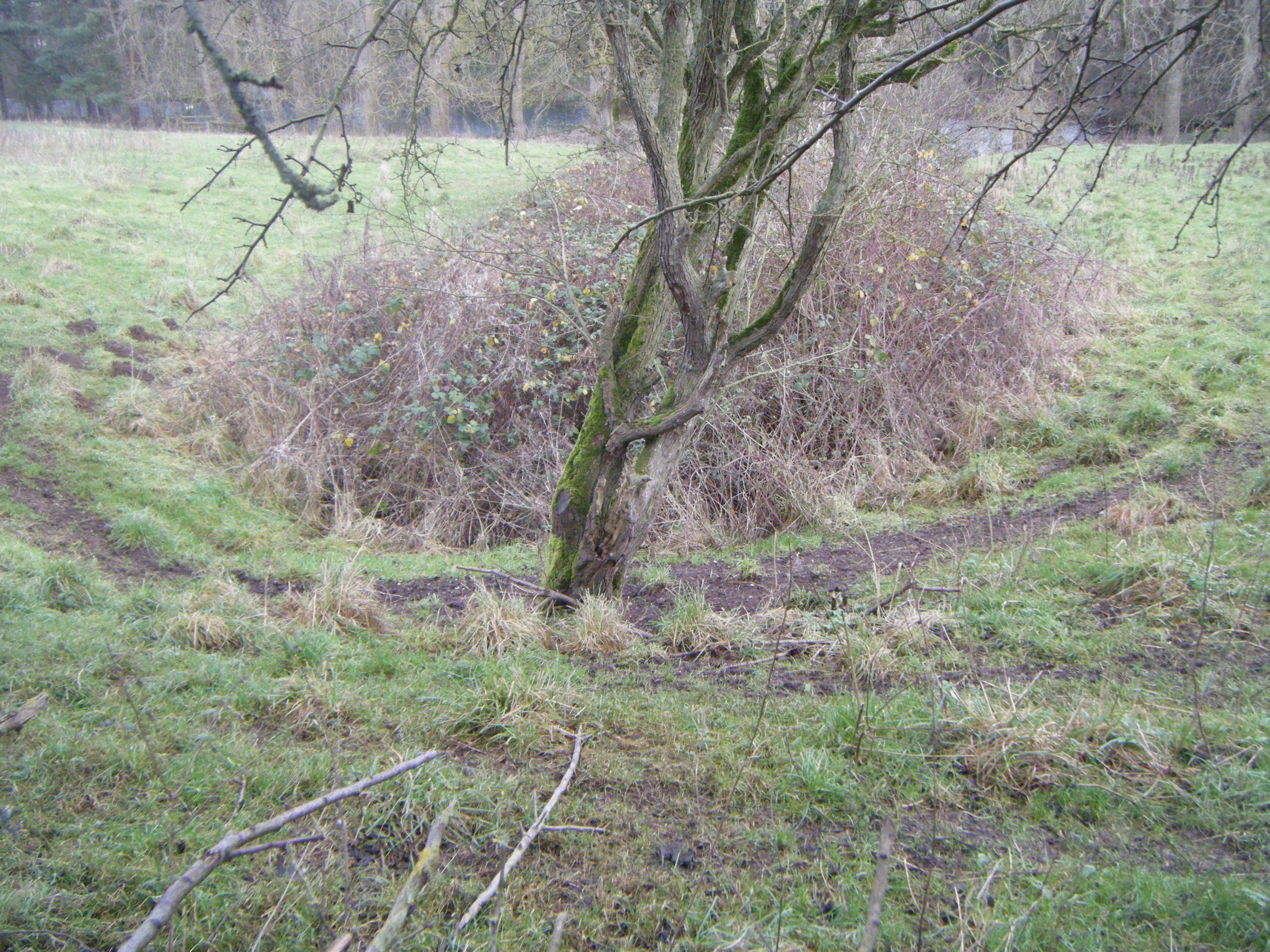
At the time of visiting (December 2024), the spring looked very overgrown.
|
Access: The well is located on private land, but it can be seen through a gap in the hedge at the side of the road. |
Copyright 2025 britishholywells.co.uk