 |
Dedication: Saint Tudur Location: Ffynnon Dudur Farm Coordinates: 53.03241N, -3.30656W Grid reference: SJ124491 Heritage designation: none |
HOME - WALES - DENBIGHSHIRE
|
Dedication: Saint Tudur Location: Ffynnon Dudur Farm Coordinates: 53.03241N, -3.30656W Grid reference: SJ124491 Heritage designation: none |
Very little is known of St Tudur, who is said to have been the brother of St Diefer, St Marchell, St Teyrnog, and St Tyfrydog, all of whom seem to have been active in the 6th century. For this reason, it is probable that St Tudur was also a saint of the 6th century. As essentially nothing is recorded of his life, however, it is unclear whether he was a missionary saint or a local hermit, but the fact that his name appears not only here, but also in Darowen, a parish in Montgomeryshire about thirty miles from Llanelidan, and in Drefelin, Carmarthenshire, suggests that he may have been the former. Unsurprisingly, both Darowen and Drefelin also possess a "Ffynnon Dudur".
Nothing is recorded of Ffynnon Dudur's early history. The farm was certainly known by the name of "Ffynnon Dudur" by the 19th century, but the earliest direct mention of the well itself that I have been able to find dates from 1913, when Sabine Baring-Gould mentioned that it was "in the parish of Llanelidan, Denbighshire, about a mile from the church" in Lives of the British Saints. The Historic Environment Record asserts that the well was variously known as "Ffynnon y Pasâ" and "Ffynnon y Pasgâ" ("Whooping Cough Well" and "Easter Well", respectively); one of these names is probably a corruption or misspelling of the other. This suggests that the site was either used to cure, in particular, whooping cough, or that it was visited as part of a local tradition on Easter Sunday.
Simply because the documentation regarding Ffynnon Dudur is scarce, the Historic Environment Record notes that "evidence is lacking" that the well was ever treated as holy: the site was not visited by the Royal Commission in the early 20th century, and the well in the farmyard is not marked on old Ordnance Survey maps. However, there are multiple existing holy wells, such as the Lady Well, at Church Stoke in Montgomeryshire, that were not visited by the Royal Commission, but which are known to have been venerated in the medieval era. Indeed, although the well was not marked on very early Ordnance Survey maps, which is admittedly rather odd (I know of several sites that are and historically were, inexplicably, not marked on OS maps, such as St John's Well at Lutterworth, Leicestershire), the 1840s tithe map schedule of Llanelidan, which names the field in which the well is located as "Ffynnon Dudur", proves that the well was at least extant by the early 19th century.
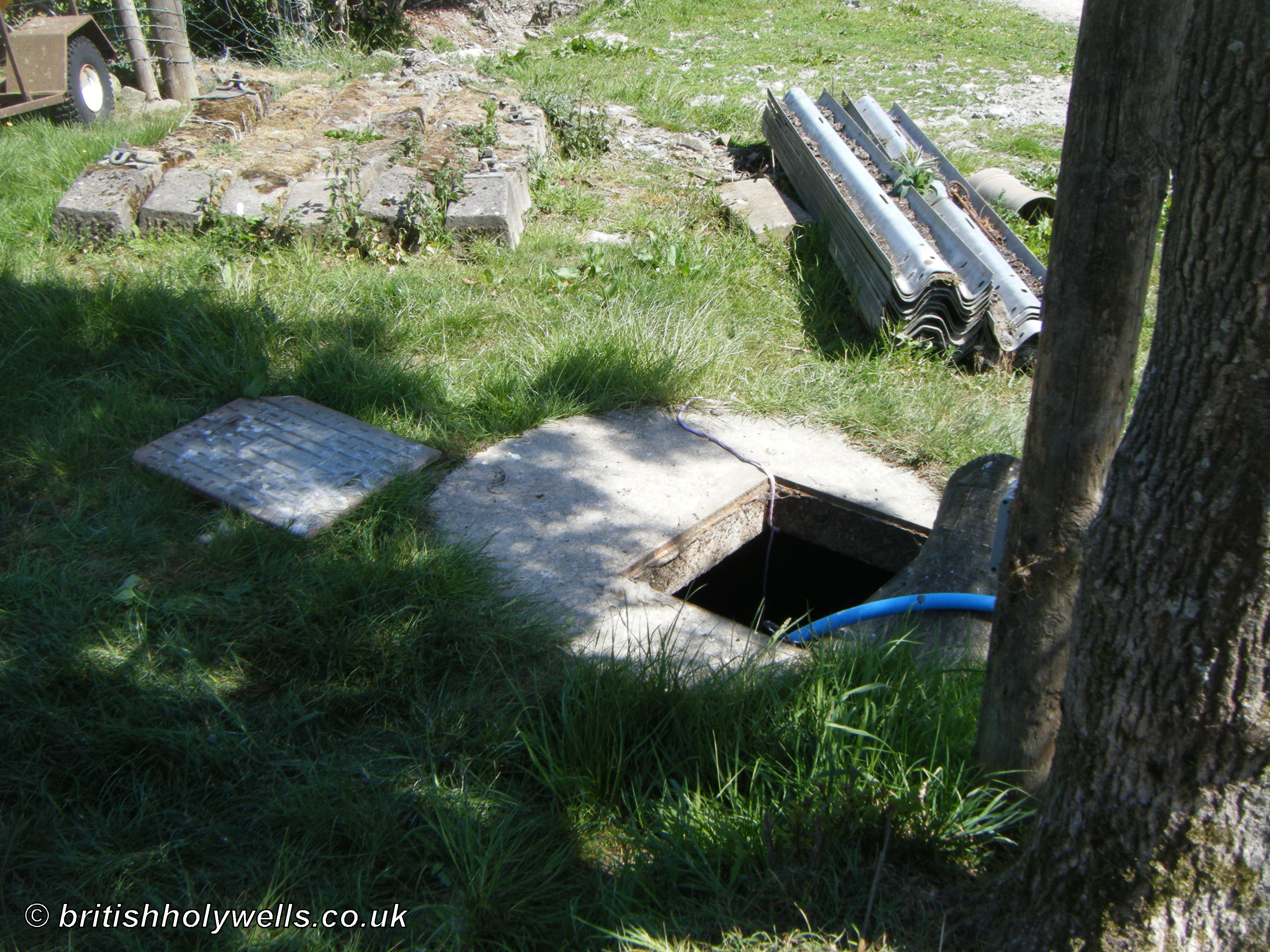
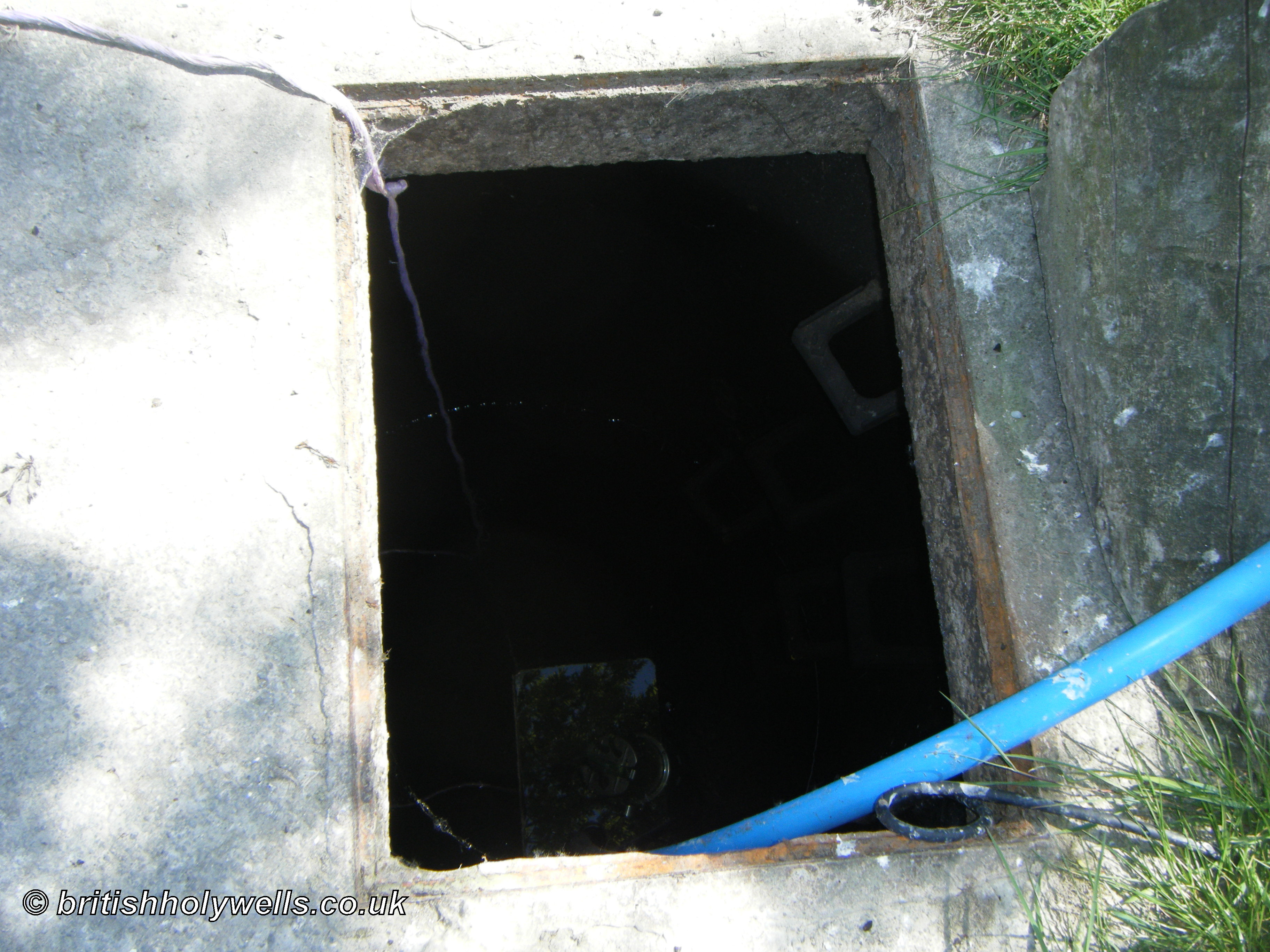
When I visited Ffynnon Dudur in the May of 2025, the spring was clearly still producing a large quantity of water. Although it currently takes the form of a deep well, this is not the site's original state, and the owner of the well informed me that the spring had once been contained in an ancient stone structure, similar to the one still extant at nearby Ffynnon Degla; this was destroyed in around 1985, when the well was deepened to improve the water supply.
 |
|
Access: A public footpath runs right beside the well. |
Images:
Old OS maps are reproduced with the permission of the National Library of Scotland
Copyright 2025 britishholywells.co.uk